SNAPSHOT OF UPPER NARRAGANSETT BAY
The Narragansett Bay Commission’s (NBC) mission is to maintain a leadership role in the protection of water quality in Narragansett Bay and its tributaries by providing safe and reliable wastewater treatment services to its customers at a reasonable cost.
A critical aspect of our mission involves understanding the water quality in the Bay and watershed to ensure that regulations and infrastructure investments remain anchored in sound science. To this end, since the early 2000s the NBC has maintained an extensive receiving water monitoring program, measuring water quality parameters throughout the watershed, sampling for bacteria and nutrients, and making these data publicly available. Please explore this website for data and details.
Providence Conditions
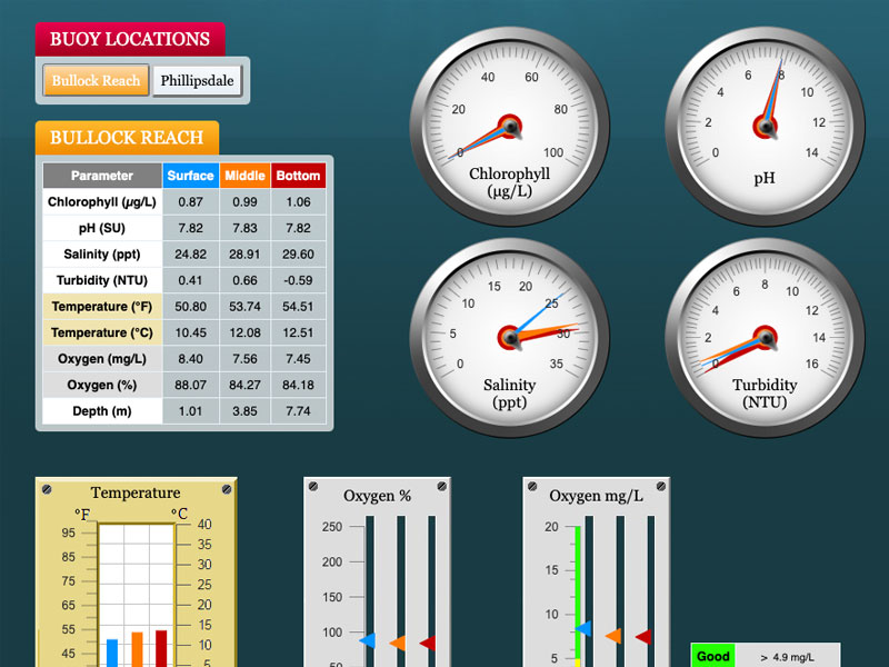
The NBC’s Phillipsdale Landing sondes were deployed for the 2024 season on April 2, 2024 and were retrieved on December 4, 2024. The Bullock Reach sondes were deployed on May 22, 2024 and were retrieved for the season on November 18, 2024.
Please note: Fixed-site data are made available in near real-time direct from field-deployed instruments. They have not undergone quality control review.
Water Quality Summaries
Research Vessel
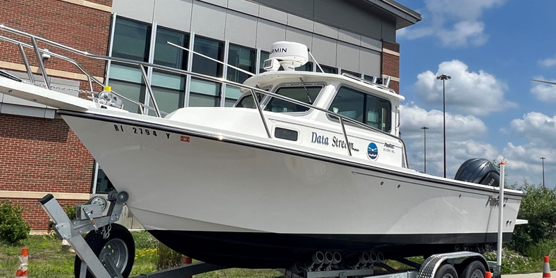
November 18, 2024
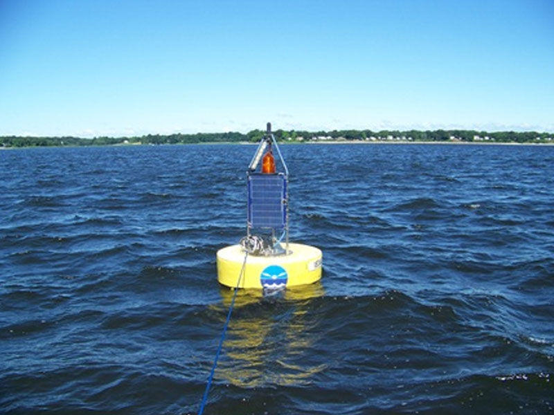
The Data Stream deployed on a chilly but otherwise beautiful November day. The team retrieved the Bullock’s Reach Sondes for the final time in the 2024 season. The buoy is scheduled to […]
Fixed-Site Network
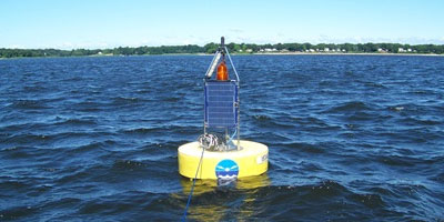
July 29-August 4, 2024
Phillipsdale Landing Overall, water quality at Phillipsdale Landing was fair to poor this week. Weather conditions included sporadic rain events, with 1.16 inches of precipitation recorded at T.F. Green. The […]
Water Column Profiles
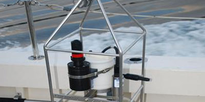
October 30, 2024
Water column profiles were conducted at seven locations in the Providence and Seekonk River estuaries on October 30, 2024 using a Seabird Electronics profiler. In the five days leading up […]
Water Clarity
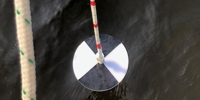
October 30, 2024
Water clarity was measured at seven locations in the Providence River and Seekonk River estuaries on October 30, 2024. In the five days prior to the survey, 0.03 inches of […]
Surface Mapping
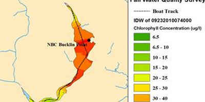
November 7, 2024
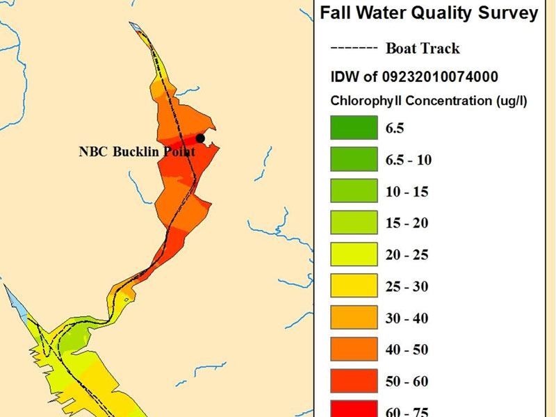
Surface chlorophyll data were collected on November 7, 2024, while the R/V Monitor was underway collecting nutrient samples in the Providence and Seekonk River estuary. The average chlorophyll concentrations were […]
Nutrients Sampling
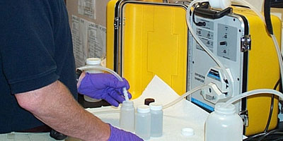
February 19, 2025
Nutrient samples were collected from six river stations on February 19th. No samples were collected from bay stations due to adverse weather conditions. In the five days prior to sampling, […]
Bay Bacteria Sampling
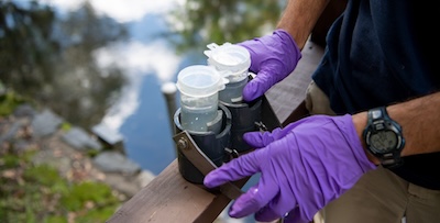
November 20, 2024
On November 20th, 2024, twenty stations were sampled for fecal coliform bacteria in the Providence and Seekonk Rivers; five of these stations were also sampled for enterococci bacteria. In the […]
Phytoplankton Sampling
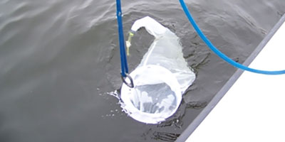
March 19, 2025
Phytoplankton samples were collected on March 19, 2025 at Bullock Reach and analyzed in the laboratory shortly after collection. It was sunny and cold on this day. The water temperature […]
Benthic Video
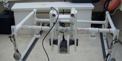
September 25 – October 1, 2022
The boat crew conducted benthic video surveys along the Bullock Reach, Edgewood, and Sabin transects on September 29, 2022. Scale lasers were used in the footage at Bullock Reach and […]
